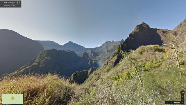
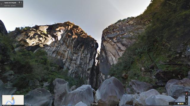
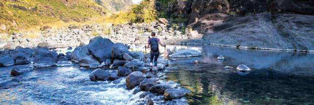
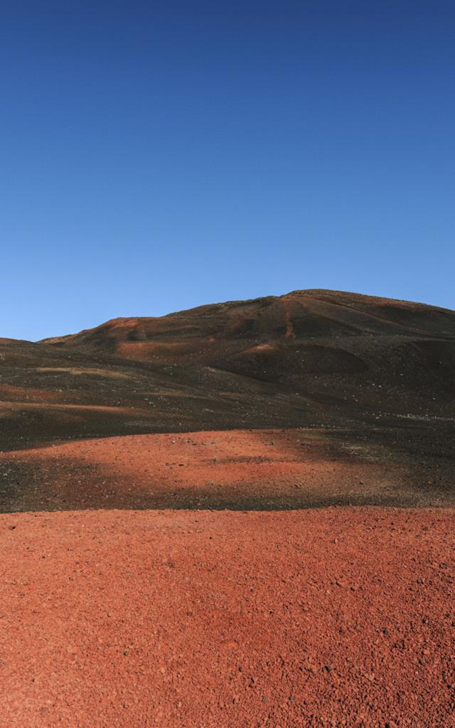
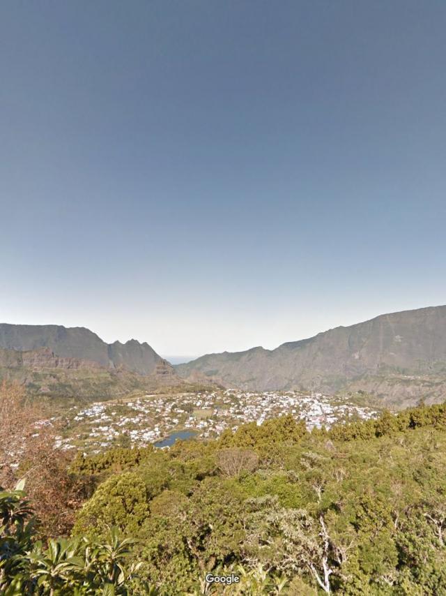
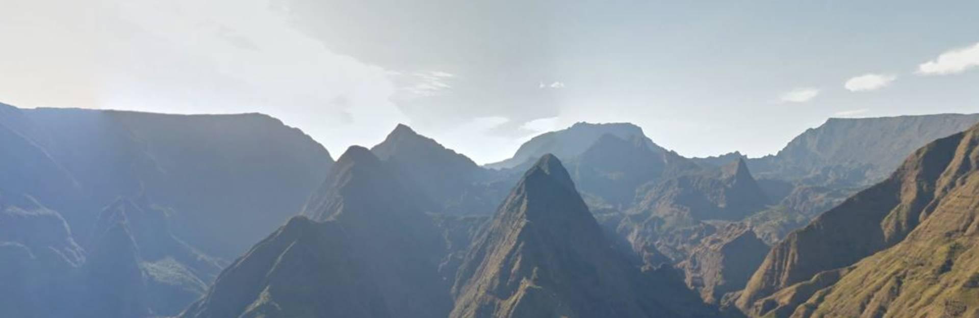
Cretesdesorangers.jpg©Cretesdesorangers.jpg|Google trekker IRTCrête des Orangers – Google Street ViewRead moreCheminiletamalheur.jpg©Cheminiletamalheur.jpg|Google trekker IRTÎlet à Malheur Trail – Google Street ViewRead moreSentierdelachapelle.jpg©Sentierdelachapelle.jpg|Google trekker IRTLa chapelle canyon – Google Street ViewRead moreBrasrouge.jpg©Brasrouge.jpg|Google trekker IRTBras Rouge – Google Street ViewRead moreRandonnées pédestres©Randonnées pédestres|Emmanuel VIRINRoche écrite Trail – Google Street view trekkerRead moreRandonnee Pedestre132 Riviere Des Galets Credit Irt La Vie En Mauve Dts 05 2027.jpg©Randonnee Pedestre132 Riviere Des Galets Credit Irt La Vie En Mauve Dts 05 2027.jpgRivière des Galets – Aurère – Google Street ViewRead moreVolcan Plaine Des Sables33 Credit Irt Serge Gelabert Dts 12 2014.jpg©Volcan Plaine Des Sables33 Credit Irt Serge Gelabert Dts 12 2014.jpgPlaine des tamarins – Marla – Trois Roches – Plaines aux sables – Google Street ViewRead moreColdesboeufs Lanouvelle P02 F.jpg©Coldesboeufs Lanouvelle P02 F.jpg|IRT/George DepriesterCol des Boeufs – Plaine des Sables – Google Street ViewRead more
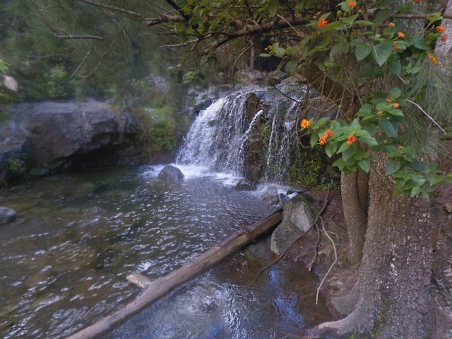
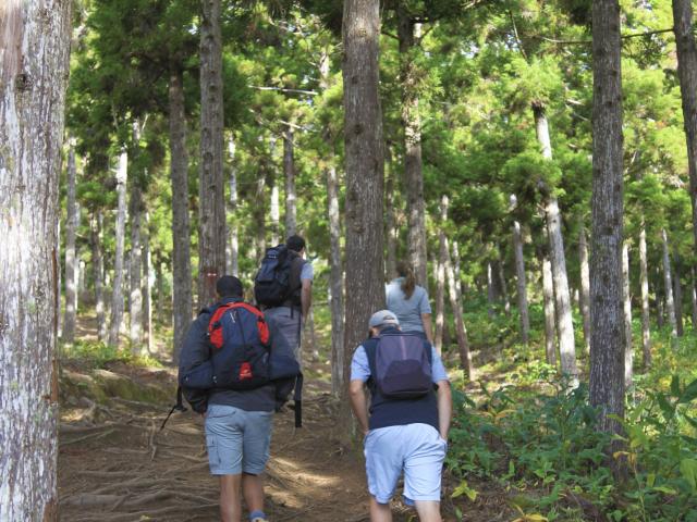
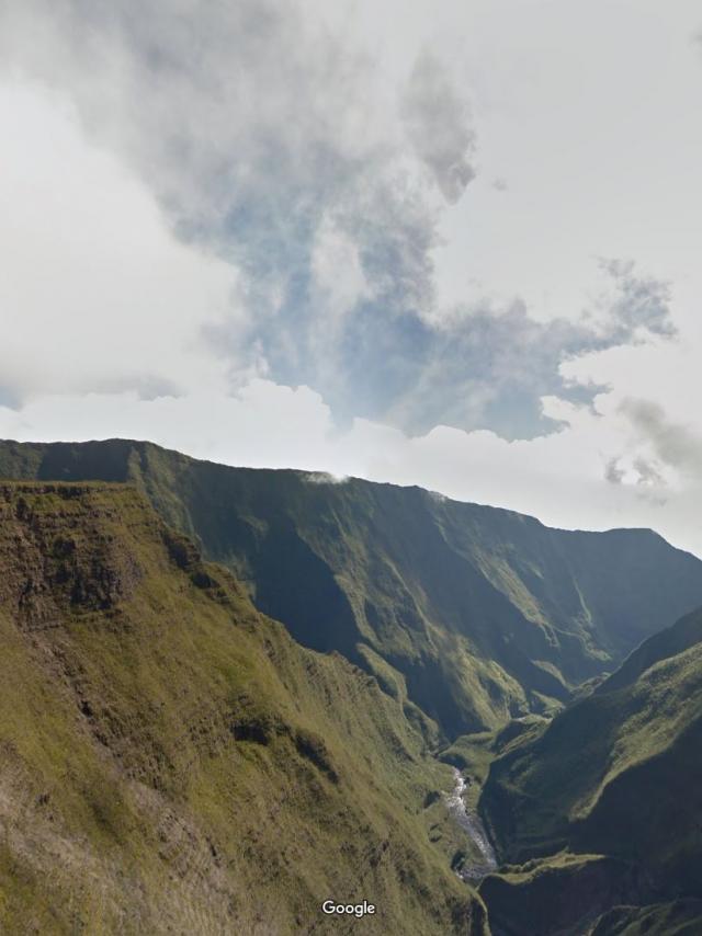
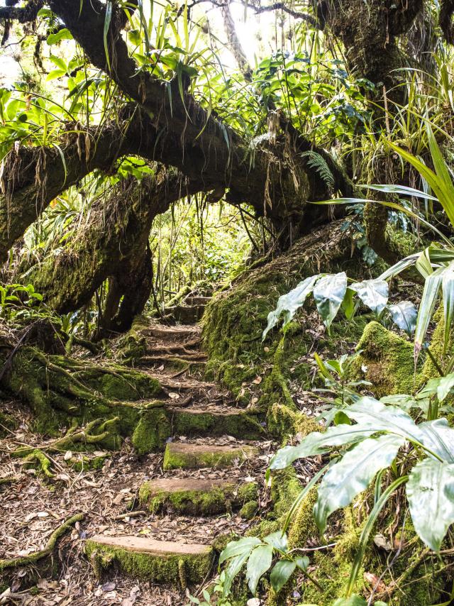
Cassedelarivieredelest.jpg©Cassedelarivieredelest.jpg|Google trekker IRTEast River Canyon – Google Street ViewRead moreForetdenotre Damedelapaix.jpg©Foretdenotre Damedelapaix.jpg|Google trekker IRTNotre-dame de la paix forest – Google Street ViewRead moreForetdugrandmatarum.jpg©Foretdugrandmatarum.jpg|Google trekker IRTGrand Matarum Forest – Google Street ViewRead moreCascade Bassin©Cascade Bassin|Cédric ETIENNETrails near the coast of Reunion IslandRead more©Piton fougères|IRT/Corine TELLIERTrails to the basins of Reunion IslandRead more
 Capnoir 0.jpgCapnoir 0.jpgCapnoir 0.jpg