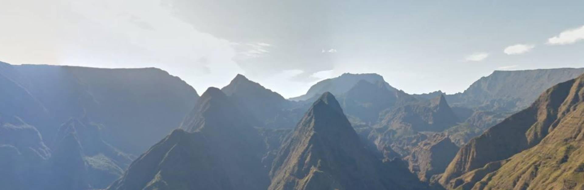
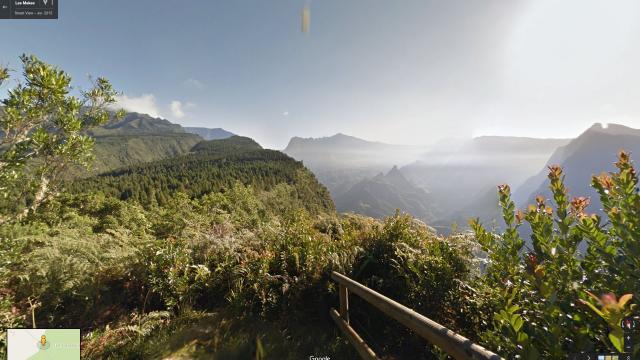
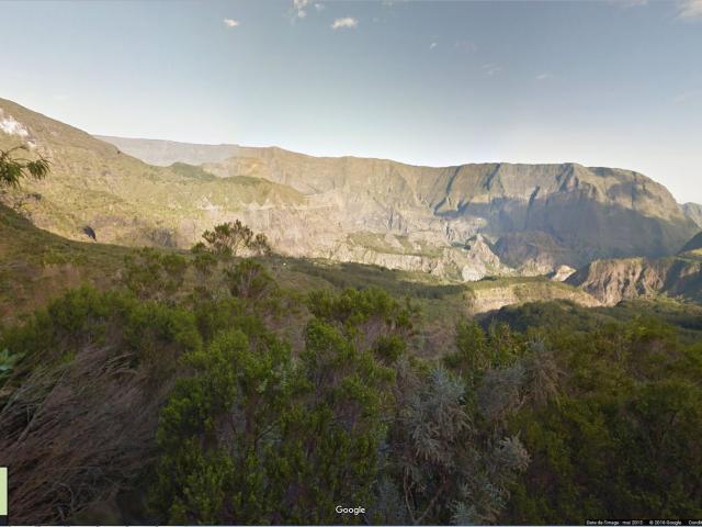
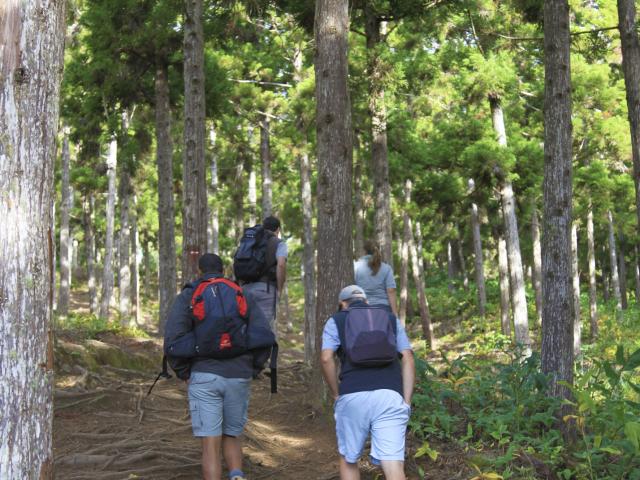
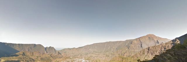
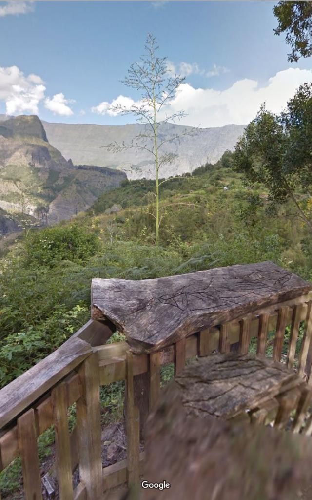
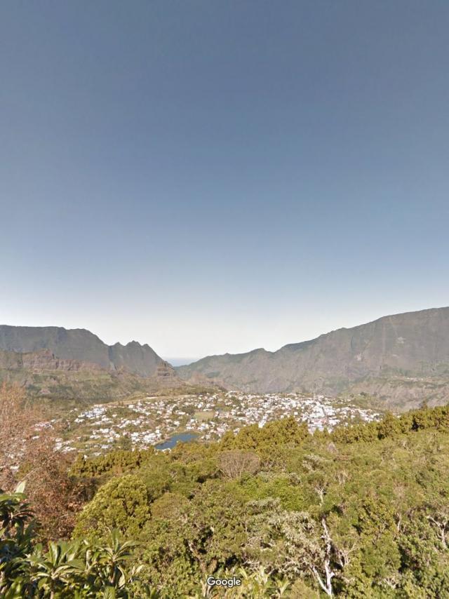
©MILESANDLOVEMaïdo – Grand Benard – Google Street ViewRead moreLesmakes.jpg©Lesmakes.jpg|Google trekker IRTLes makes – Google Street ViewRead moreSentierdureposoir.jpg©Sentierdureposoir.jpg|Google trekker IRTReposoir – Pavillon – Ilet à Cordes Trail – Google Street ViewRead moreSentierscout.jpg©Sentierscout.jpg|Google trekker IRTScout Trail – Google Street ViewRead moreRandonnées pédestres©Randonnées pédestres|Emmanuel VIRINRoche écrite Trail – Google Street view trekkerRead moreGrr1.jpg©Grr1.jpg|Google trekker IRTGR R1 Hiking Trail – Google Street ViewRead moreCheminiletamalheur.jpg©Cheminiletamalheur.jpg|Google trekker IRTÎlet à Malheur Trail – Google Street ViewRead moreLaplaque.jpg©Laplaque.jpg|Google trekker IRTLa plaque – Google Street ViewRead more
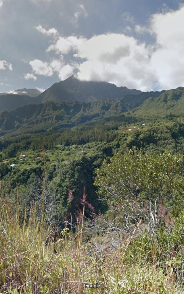
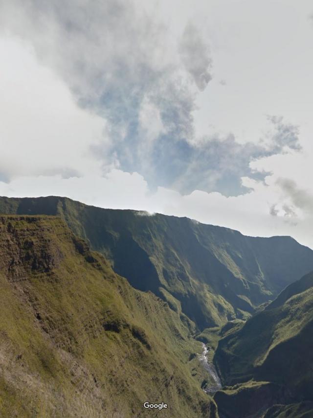
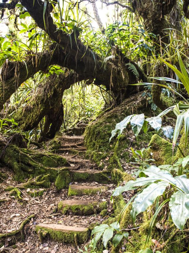
Cassedelarivieredelest.jpg©Cassedelarivieredelest.jpg|Google trekker IRTEast River Canyon – Google Street ViewRead moreForetdenotre Damedelapaix.jpg©Foretdenotre Damedelapaix.jpg|Google trekker IRTNotre-dame de la paix forest – Google Street ViewRead moreForetdugrandmatarum.jpg©Foretdugrandmatarum.jpg|Google trekker IRTGrand Matarum Forest – Google Street ViewRead moreCascade Bassin©Cascade Bassin|Cédric ETIENNETrails near the coast of Reunion IslandRead more©Piton fougères|IRT/Corine TELLIERTrails to the basins of Reunion IslandRead more