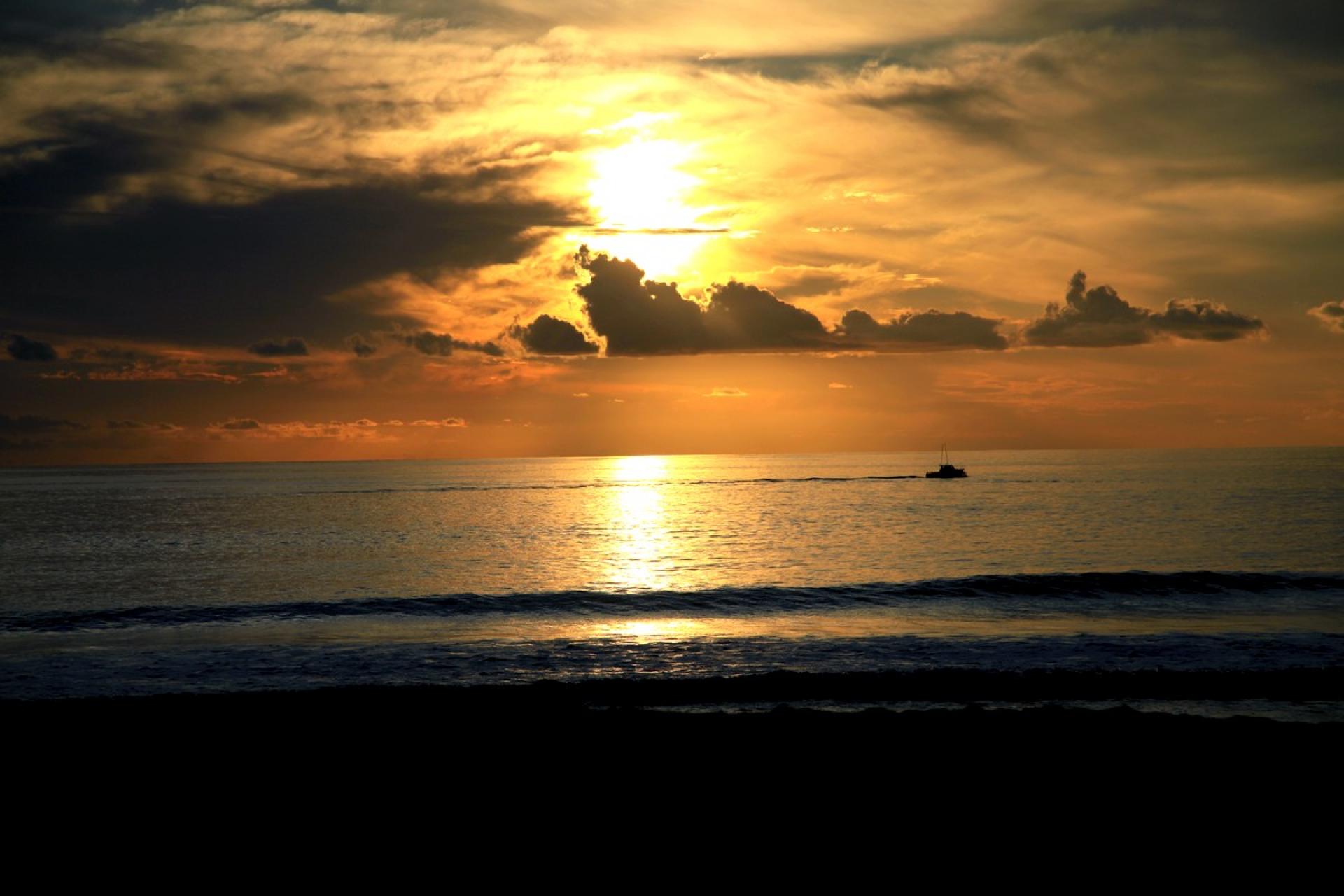
coucher_de_soleil25_-_credit_irt_-_emmanuel_virin.jpgCoucher de soleil
©Coucher de soleil|Emmanuel VIRIN

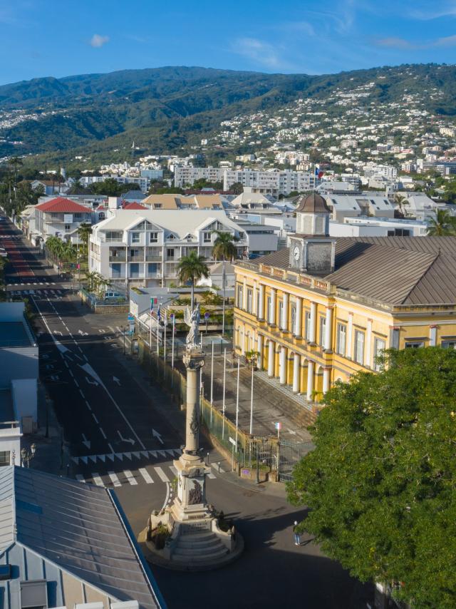
The leeward coast in the West

Between the forest and the beach

This drier and sunnier climate conveniently teams up with the best beaches: Boucan Canot, Roches Noires, l’Ermitage, la Saline, Trou d’eau and Saint-Leu. Access is easy thanks to the Route des Tamarins, a dual carriageway crossing the west coast halfway up the mountains, with magnificent bridges crossing ravines and precipices revealing stunning views over the Indian Ocean. Further up in the mountains, the west coast is covered with forests, some primitive, some replanted with cryptomeria trees. The two Communes (administrative districts) which cover the west coast (La Possession and St Paul) also encompass the Mafate Cirque, with breathtaking viewpoints to be enjoyed at Le Maido or at Dos d’Ane. Several footpaths also lead into Mafate (Ilet des Orangers, Roche Plate Mafate, Cayenne…).

Le Port, birthplace of trade union solidarity

 39 000 inhabitants, 1 660 hectares (the island’s smallest Commune)

What to see and do in Le Port
  • The old houses of employees and foremen of the former railway track.
  • The grandiose buildings which house the headquarters of various navigation companies
  • Rue Lepervanche’s typical African and colonial architecture, the height of fashion at the end of the 19th century
  • The quaysides of the old port
  • The insectarium
  • Events organised at the Halle des Manifestions (exhibition centre)
  • Shows and concerts at the Kabardock
A brief history of Le Port
  • In 1886 : Inauguration of the port at the Pointe-des-Galets, soon after that of St Pierre. Its construction brought in many workers and their families to this deserted site. Le Port became the island’s leading town for industry, and is seen as the cradle of Reunion’s trade union solidarity.
  • In 1895 : the Commune of Le Port was established.

St Paul, Reunion’s first settlement

→ 93 000 inhabitants, 24 028 hectares

This is one of France’s largest Communes. Along with the island’s largest bay, St Paul also includes St Gilles and part of Mafate, specifically the villages to the left of the Rivière des Galets (Marla, Roche-Plate, Ilet-des-Orangers).

What to see and do in St Paul
  • Viewpoint over the Mafate Cirque from the Maido
  • The Marine Cemetery: in memory of some of the island’s most famous names, including Leconte de Lisle.
  • The beaches at Boucan, Roches-Noires, l’Ermitage, la Saline, Trou d’eau…
  • Treks in Mafate
  • “Petite France” with its geranium distilleries and mountain-biking trails on the road up to the Maido.
  • The Bassin Bleu Golf Course
  • The aquarium in St Gilles
  • The Garden of Eden.
  • The Villèle district in St Gilles les Hauts with the Villèle Museum, the Pointed Chapel (of ‘neogothic’ style built in 1845) and the Chapel called “la Misère”, built in the eighties and brightly coloured, typical of Tamil temples in Reunion. As well as regular services, there are three major religious festivals annually in honour of the Goddesses Marliemin, Pandiali (fire walking) and Karli.

A brief history of St Paul
  • In 1638 and 1642, the island was occupied temporarily by mutineers exiled from Madagascar by the governors of Fort-Dauphin.
  • In 1663, Louis Payen arrived with ten Malagasy slaves. The birth of Anne Mousse, the island’s first child, of Malagasy origin and ancestor of the majority of Reunionese.
  • St Paul was labeled “the best place to cast anchor”: like St Pierre, it was one of those rare places where ships could anchor in relative safety.
  • The title of Chef-Lieu (principle town) was taken from St Paul and attributed to St Denis.
  • The heyday of sugar cane, coffee and geranium.

Trois-Bassins, its feet in the sea, its head in the clouds

→ 7000 inhabitants, 4 258 hectares

Its name comes from three lakes which used to be located by the coast at the entrance to the ravine of the same name. The land is mainly agricultural (citrus fruit, strawberries…) and woodland – two thirds of the Commune is administered by the National Forestry Commission:

  • Cryptomeria forests, softwood trees brought in from Japan and planted in the 1960s to limit the importation of wood for construction.
  • Primitive forests with endemic flora and fauna: mountain tamarind trees, small and large maho trees, vegetation combinations such as tamarind & calumet, the ‘virgin bird’, the Reunion white-eye, the Reunion harrier… .
What to see and do in Trois-Bassins
  • The small beach at Souris-Chaude.
  • Climb to the top of Grand-Bénare, the island’s second highest summit.
  • The forest up in the hills of Trois-Bassins (via the forestry road stretching from Maido to Tévelave)
A brief history of Trois-Bassins
  • In 1649 : the map drawn up by Flacourt already mentions the “Trois-Bassins”, based on declarations made from the first men exiled from Fort-Dauphin.
  • The southern limits of the colonists, beyond which it was forbidden to venture. However, to avoid the monopoly created by the East India Trading Company, some braved the law in order to trade with the local pirates moored off by the Petite Ravine, exchanging guns, gunpowder and gold for fruit, vegetables and fresh meat.
  • The Commune was established in 1897, as before it was part of the Communes of St Paul and St Leu. The first mayor was Henri Auber.
Close